All SBPL locations will be closed from Thursday November 28 through Friday, November 29 for Thanksgiving.

11042
Sidebar Widgets

Contact

Wildland Fire Suppression Assessment District:
Chris Braden
Fire Services Specialist
805-564-5737
cbraden@santabarbaraca.gov

Wildland Mitigation:
Mark vonTillow
Inspector II/Wildland Specialist
805-564-5720
mvontillow@santabarbaraca.gov

Wildland Mitigation:
Mike Lopez
Fire Services Specialist
805-564-5740
mlopez@santabarbaraca.gov

Title

Wildland Fire

Body

It is not a matter of “if” another wildfire will occur in our area, but “when.”
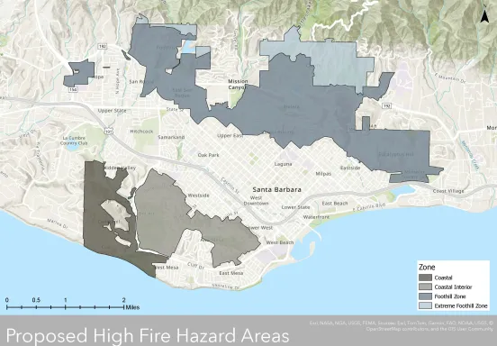
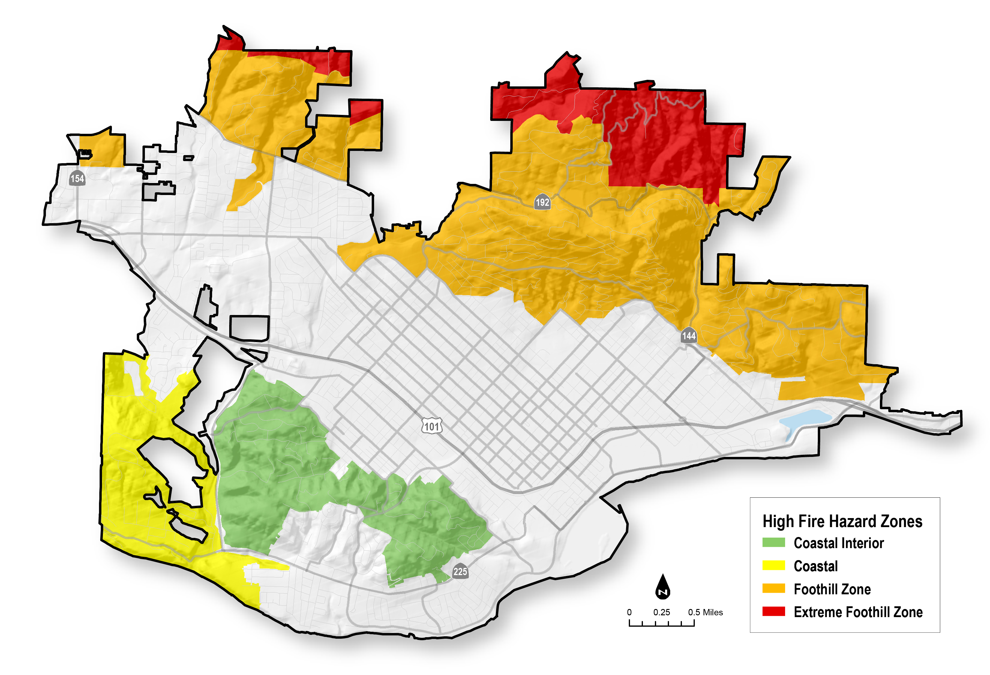
If your property is located within the City of Santa Barbara high fire hazard area you are at risk of damage from a wildland fire.

To identify if a parcel is within a High Fire Hazard Area within the City, click here to use our MAPS tool. Once you are in the MAPS viewer, toggle the Fire>High Fire Hazard Area layer using the menu on the left. Once the layer is toggled on, you can search by address, APN or manually locate a parcel on the map. 

Sections

City of Santa Barbara High Fire Hazard Zones

Map of High Fire Hazard Zones
City of Santa Barbara High Fire Hazard Zones
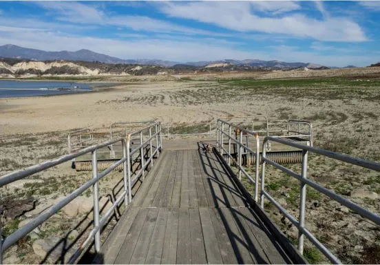
Cachuma 2

Effect of the Drought

It is generally accepted that there is a connection between drought and wildfire, a risk that increases with multiple dry years. The California Department of Water Resources observed that California’s most devastating wildland fire episodes occurred either during a drought or in the year following a multi-year drought. Low fuel moisture creates conditions that are favorable to fire spread, and resulting outbreaks can be among the major economic impacts of drought conditions. Approximately 75% of wildland fire causes are associated with the activities of people, from deliberate sets to household ignition sources and to driving cars. That makes the urban wildland interface particularly prone to fire initiation and spread.