FEMA to Update Flood Insurance Rate Map for Parts of the City of Santa Barbara
Residents of the City of Santa Barbara and Santa Barbara County are encouraged to attend an Open House on July 9, 2024. Here, experts and local officials will discuss local flood risk and updates to the Flood Insurance Rate Map (FIRM) issued by FEMA.
FEMA released the preliminary FIRM on March 26, 2024, for public comments; the FIRM is for parts of City of Santa Barbara and Santa Barbara County. The extents of the revised maps include parts of Montecito, Carpinteria, Buellton, Solvang, and Santa Ynez. The map gives updated information about the communities’ flood risk. The FIRM is used to identify areas that may require mandatory flood insurance coverage and helps community members to make choices about how to protect themselves, their properties, and their belongings from future flood events. The map and the associated Flood Insurance Study (FIS) report are the basis for each community’s floodplain management.
The County of Santa Barbara, in partnership with the City of Santa Barbara, will host an Open House on flood risk and insurance on:
July 9, 2024
5:30 p.m. – 7:30 p.m.
at the
County Planning Commission Hearing Room
123 E. Anapamu St, Santa Barbara
The Open House is a chance for community members to connect with experts and local and federal officials. This is an opportunity to delve deeper into their flood risk, understand potential changes to flood insurance rates and requirements, and explore strategies for preparation and protection against flooding. The open house will be conducted in-person, with a recording of the meeting to be made available online later in the week.
Map changes may include some properties in a high-risk flood zone, known as the Special Flood Hazard Area, for the first time.
This may result in those newly affected property owners being required to obtain flood insurance.
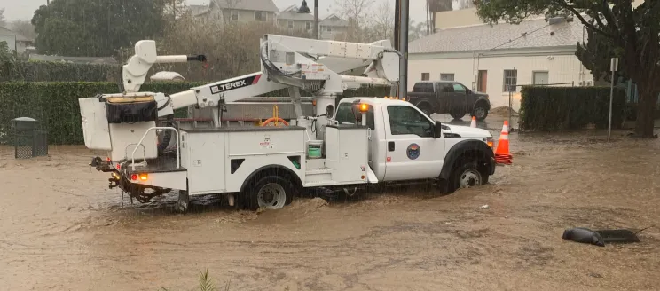
Flooding is the most common and the costliest natural disaster in the United States and community members should be aware of their current flood risk. Therefore, it's crucial for community members to be aware of their current flood risk and to utilize the tools and programs available to them to enhance the safety of their property and community against flooding.
To review preliminary map changes based on your address, go to SantaBarbaraCA.gov/FEMA-Mapping. To learn more about your flood risk, go to https://msc.fema.gov/portal/home. If you cannot join, you can also reach out to a map specialist at the FEMA Mapping and Insurance eXchange (FMIX) at (877) 336-2627 or FEMA-FMIX@fema.dhs.gov.
